PERMANENT ORIENTEERING PATHWAY
Place de Labrespy
- Terminal 6
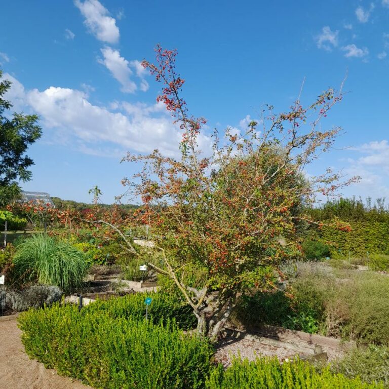
The village of Labrespy developed during the medieval time around a fortified house who was overlooking un tight pass between the Arnette valley to the east and the valley of Liboure to the west, where there where several communication ways. The name originates from the aubepines which were planted around the fields and used to separate fields. The most important way was called “chemin du sel” salt way.
The monkey procession was pulled by donkeys who were carrying precious collection through the black mountain from the salines of the abbaye of Caunes Minervois up to the Albigeois crossing Hautpoul. Labrespy which are located over the valley of Linoubre . On the wet land, was cultivated the lin. Le lin as well as the wool of the lamb were then drowned on the top land as well as the wool of the ships of the high. On the XVI century, there were about fifteen houses and a farm By the XX century there were two factories. The village had several artists, as well as a coffee shop, a wine trader , a Bakery, and a grocery shop. Today, Labrespy and the others villages are part of the city of Mazamet.


